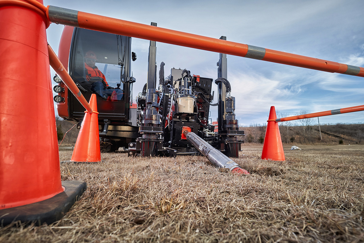
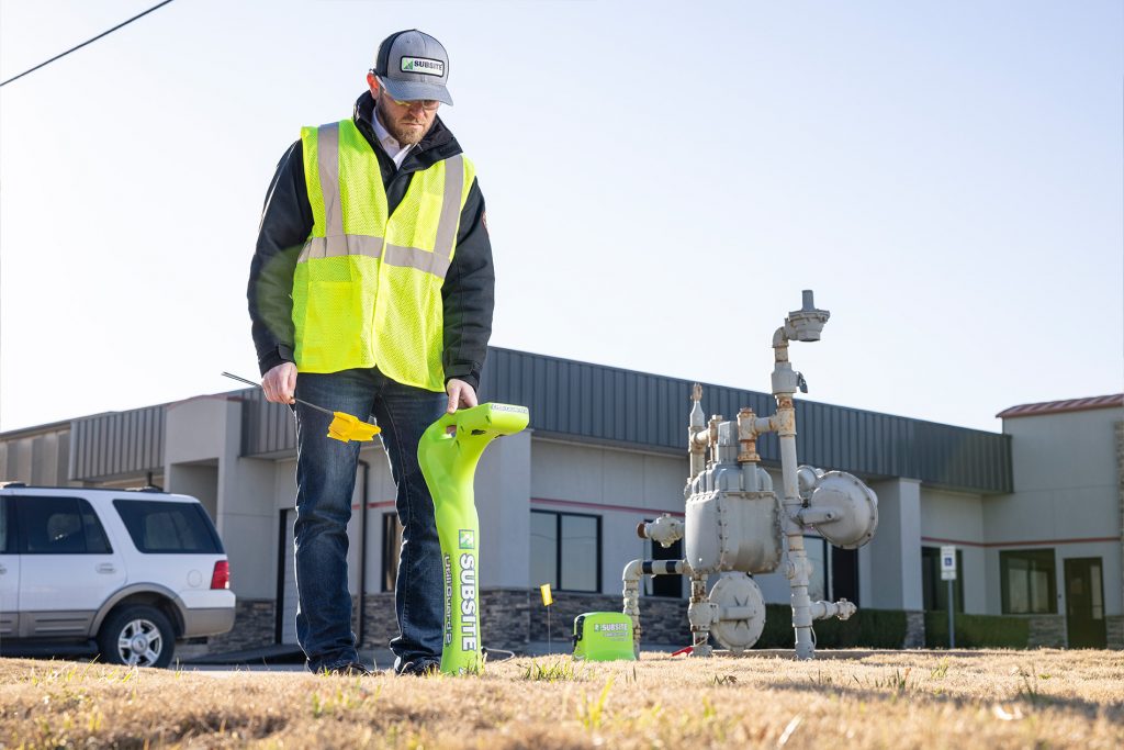
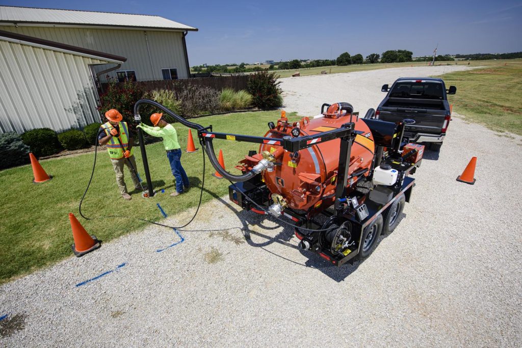
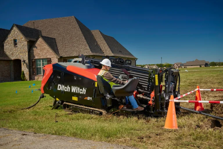
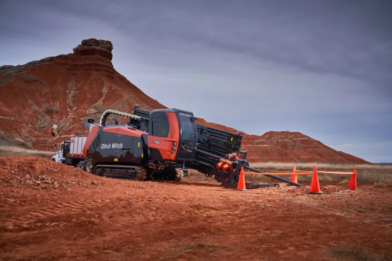
While it truly takes a village to keep HDD crews safe, the first step to limiting risk and damage is a well prepared jobsite. The average drill rod will only bend so far before breaking or being permanently damaged. By gathering information and planning the ideal bore path before the job, you will greatly decrease the risk of breakage and ensure that your team is successful and safe when navigating around the many utilities that are scattered through an urban jobsite.
As more and more utilities are being installed in urban areas, GPS coordinates of utilities are increasingly important to expedite the location process. Also, manufacturers of HDD guidance equipment anticipate using this information in the future to improve underground location processes.
The project engineer also must gather local regulations on underground drilling, traffic interruption and environmental impacts. Since regulations can vary from region to region and state to state, it can be challenging to stay current. One resource that can be consulted to stay up-to-date on regulations is the “Safe Excavator” mobile app from the National Excavator Initiative.
This information, along with the located utilities, will determine for the engineer which types of equipment they will recommend a contractor to use and could impact who bids for the job. This is in part where manufacturers play a role. Certain manufacturers offer equipment for all stages of the horizontal directional drilling process, providing an easier way for engineers and contractors to review a spectrum of options and features to make the best decisions.
Once a job is available to bid, all contractors who plan to submit bids should visit the jobsite. There, they can perform their own visual inspection and survey of the jobsite to understand any potential hazards. Once a job is awarded, the engineer, the project foreman and the operator must meet to review all the gathered information. With this information in hand, the team can develop the drilling plan.
Sometimes the bidding process can take many months, but locates are only valid for 14 days. As the team begins developing the drilling plan, another call to 811 is in order. Even if the project engineer has GPS data on file, it is an industry best practice to call and get locates again so that there is fresh paint on the ground for the contractor to reference while daylighting existing utilities or drilling.
Research, including a white paper released in 2020 by the Common Ground Alliance (CGA), revealed that the number one challenge locating technicians reported regarding accurate locates is that the jobsite wasn’t clearly marked. That’s where white-lining can make a difference. Whenever a contractor or engineer calls 811, they should use white paint to mark the proposed jobsite – in many states this is required by law. On the first 811 call, this will indicate a proposed jobsite. After the second call to 811 (once the selected contractor is in place), the white-lined area should show the proposed bore path that has been determined by the GPS data and mapping process. Accurately white-lining an entire jobsite and proposed bore path will help the locating technician more clearly view and understand the work zone. This can lead to more accurate locates – and in some instances quicker locates – allowing drilling projects to proceed sooner and safer.
A drilling plan should include and make considerations for:
– Requirements for vertical and horizontal clearance of underground structures and utilities
– Size of pullback tools
– Bend radius of the HDD pipe and installing product
– How a bore will be tracked
– Ability to expose existing utilities and observe crossings
– Surface structures for drill placement and setback requirements
– Emergency response plan with contact information, assignments of responsibilities and procedures in the case of each type of event
Once this information is gathered, the team is ready to drill.
This article is one of a three-part series. See below to read the other two articles.


